|
2C Update #144
-
The Ha’apai – Part Two (July 9-Aug 1,
2006)
|
Fishing
with the Yoyo
 |
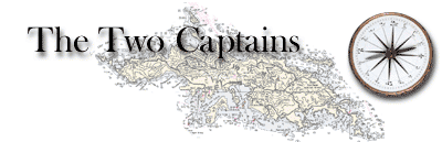
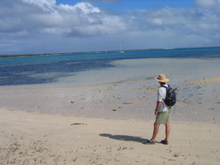
After two days taking
shelter from west winds behind the “boomerang reef” near
Tatafa Island, we decided the wind had backed far enough
south that we could sail the 21 miles southwestward to
the Lulunga sub-group, the largest of the Ha’apai’s
western island groups. Unfortunately, we were a little
too optimistic, and the point of sail was too tight for
our old condo, so, after four tacks got us nowhere, we
had to resort to motorsailing. We trolled a line behind
the boat for the first time in ages, although we did not
anticipate enticing anything to bite since we were going
slower than optimum fishing speed.
About half way across, we
smelled smoke, always a heart-stopping moment. There’s
no blaming it on a fire ashore when you are that far out
in the open. Quick investigation revealed the engine
room filled acrid smoke evidently from a short in the
alternator, prompting an immediate shutdown. Luckily, we
have a switch to shut off the alternator output, so
after letting things cool down (and air out), we were
able to resume motoring. As if in consolation, we did
catch a fish, a kawakawa, according to our fish chart, a
good eating smaller tuna! Obviously, a slow-witted fish!
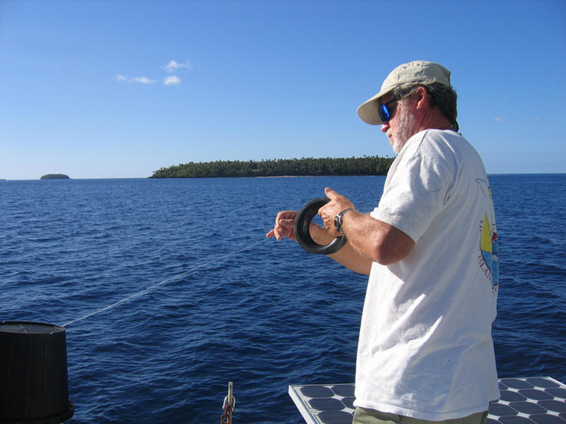
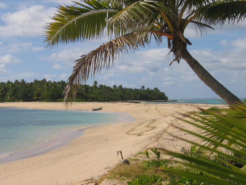
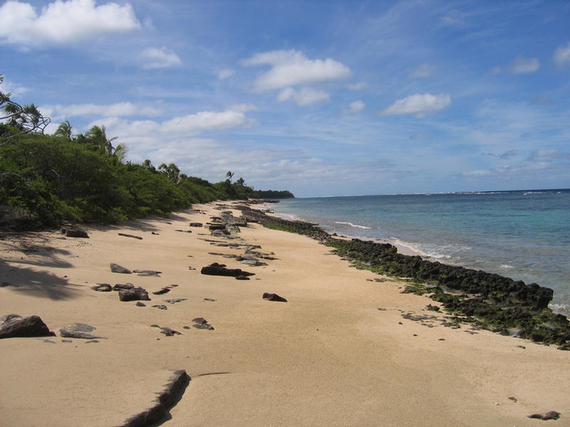
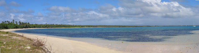
The Lulunga Island group has five inhabited islands in
several clusters, with lots of little uninhabited ones
scattered around, and here the Ha’apai’s two volcanoes
loom much closer on the horizon. We had planned to
anchor at Ha’afeva, but the winds were still too
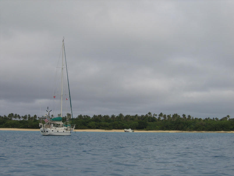
southerly, so we continued on to Matuku whose anchorage
-- a narrow sand ledge over a steep drop-off -- was
protected to the south. We could see the roofs of the
small village tucked behind the trees, and for the first
time we found ourselves sharing an anchorage with
another boat, a trim German cutter called Finte,
although they were gone before coffee the next morning.
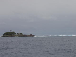
Matuku
Island
 |
View of T2
from Matuku
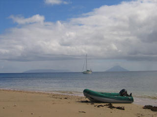 |
The day was a pretty one,
the boat pointing again southeastward as the weather
system of the previous four days finally let go its
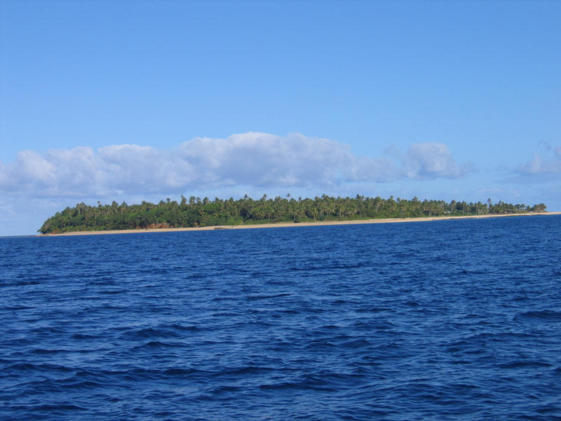
grip. We dinghied ashore to stretch our legs by walking
the perimeter of the small island. We hadn’t made it
one-third the way around when a trio of kids and several
dogs caught up with us. The boy, older, ventured some
conversation in hesitant English, but the girls mostly
giggled. By the time we came back around to the dinghy
the boy had negotiated me out of one of my strainers
that he said his mother needed. I had hopes we would get
some fruit in exchange, but that didn’t happen.
Hiking
Around Matuku
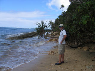 |
Joined by
Kids
 |
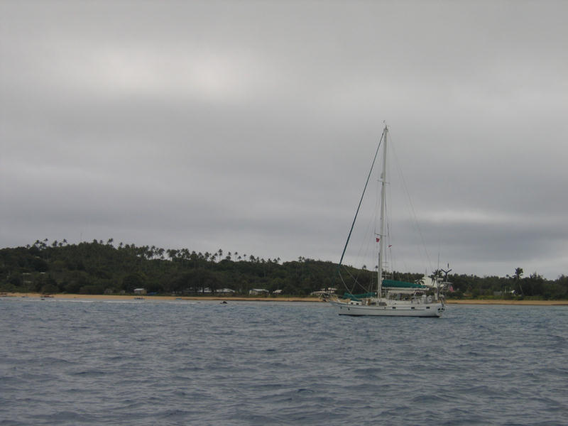
After lunch we moved back up to Ha’afeva. It always
amazes me how quickly the seas quiet down after a wind
shift. Now the lee was the lee. We anchored just north
of a serious looking pier, and dinghied over to it to
try our luck on this island. We found a nice track
leading inland from the pier to the village on the other
side.
|
Haafeva
Track
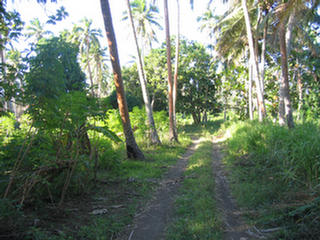 |
About halfway through,
the jungle-y vegetation opened up to criss-crossing
tracks and the villagers’ garden plots, most of them
fenced off with barbed wire. Men were at work, hoeing
and burning, but almost all took a moment to wave and
call “hello” or “malo e lei lei.” At a cross road we
were picked up by a pack of small boys who had the usual
repertoire of English-isms, “Hello. How are you? My name
is___. What’s your name?” and “Lolly?” We expressed
interest in seeing their school and the boys lead us
into the village holding hands with Don. (In Tonga it is
inappropriate for couples to hold hands in public, but
entirely acceptable for hand-holding between members of
the same sex!)
The village was large and orderly, strung out along a
sand track on the island’s eastern shore. Most houses
had fenced-off yards with flowers planted. There was no
sign of the falekoloas (stores) I’d hoped to find, and
as popular as we were with the kids (the group was
steadily growing), we got little more than a nod from
any adult!
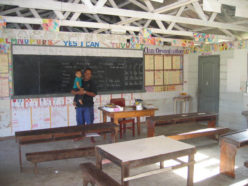
However at the school we fared better. Rousted from his
house on the school grounds, the school principal Vinz
seemed pleased to give us a tour. The school, housed in
a long cement-block building, held three decent-sized
classrooms. Each classroom has one teacher and two
grades. Right now the school has 42 kids in six classes.
Any kids wishing schooling beyond that go to Lifuka
where they board during the week. The walls of the
classroom looked like any school, with teaching aids and
colorful posters filling every bit of wall space.
|
Haafeva
Classroom with School Principal
 |
One had colors in English
and Tongan, another numbers, and so on. It’s no wonder
everybody’s English is tentative when you realize the
principal only learned his English in secondary school.
In a village this remote, where the only English
speakers they meet are the occasional cruiser, what
little school English folks learn grows rusty pretty
quickly!
From the school we escaped our entourage, which had
gotten involved in a game of rugby on the school playing
field, and wended our way back to the wharf and the
boat. From there we watched as several trucks arrived
from town with loads of stuff that was then piled up on
the wharf before sunset. After dark there was no light.
We woke at five am to find the wharf all ablaze with
light from a pretty large ferry that was docked to it!
It always amazes us that these large vessels can sneak
in without our hearing them! An hour later we sat up to
watch it depart again! After our morning chores we
geared up to go snorkeling. The guidebook had
recommended spots all around Ha’afeva. We opted for the
one to the north, checking out a tiny islet on the reef
edge first. It reminded us of the Galapagos, all coral
rock and saltwort, and it looked like there should be
sea lions basking on the sand. Instead, the only life
was a couple of terns that flew away and a moray eel
swimming in a tide pool.
We stopped on the way back to snorkel a large reef that
bulged southward between the cay and the pass. We nearly
dismissed it for being another of those shallow,
skeletal-but-dead reefs, but in fact there proved to be
tons of fish. When we reached the end, we moved south to
the next bulge of reef north of the anchorage. This
reef, too, was dead, although it took a much more
intriguing shape that made me think of space cities from
sci-fi movies. We swam toward the boat, towing the
dinghy, fascinated with the remains of what must have
been some kind of pillar coral and the spreading
colonies of pink and gray-green leather corals. However,
there were very few fish here, although we did see our
first turtle in ages.
Although there are tons of snorkeling and diving
opportunities marked in the guidebook around Ha’afeva’s
island group, we found ourselves feeling gun-shy about
the brief window of good weather and so decided to motor
right on south to Wickham Reef which Sandy of Impetuous
described as “the best dive in the Ha’apai.” Wickham
Reef is a stand-alone reef structure some three miles
long bordering the north side of a five-mile swath of
open water dividing the Lulunga island group from the
southernmost section of the Ha’apai. It was a beautiful
morning with hardly any wind at all, perfect conditions
to anchor on a reef system far from any island, and so
we motored ten miles south and to look for an anchoring
spot on Wichkam Reef’s north side.
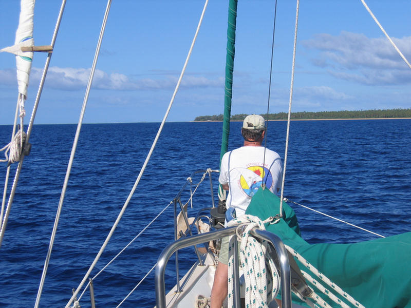
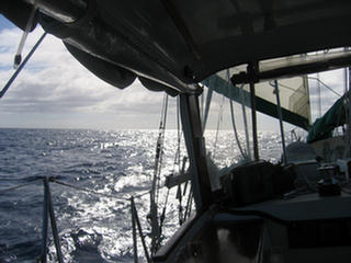
|
Don on
the Bow, Watching for Reefs
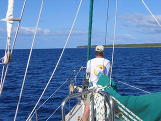 |
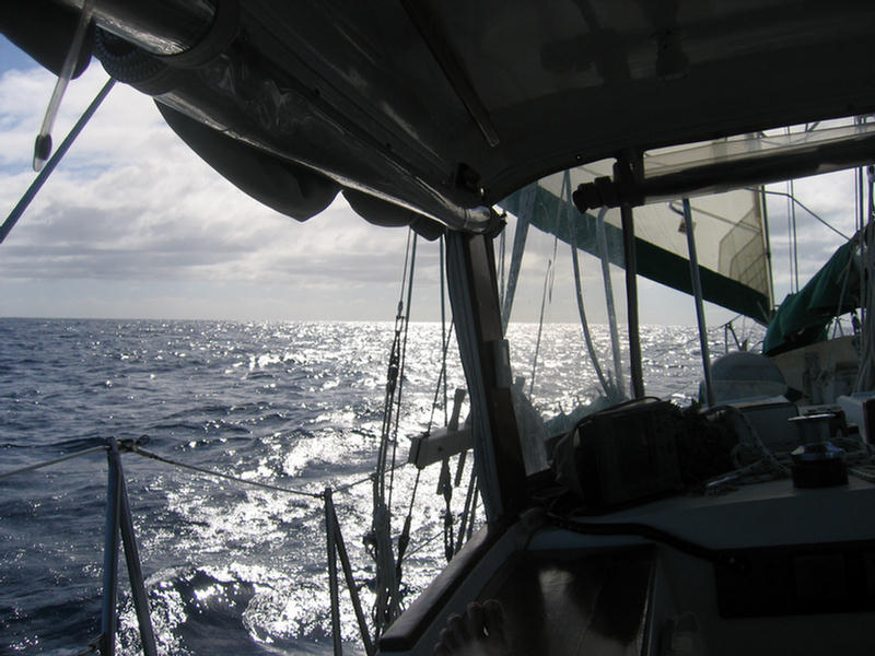
As we were motoring in,
we saw a sail on the horizon and, hailing them,
discovered it was Ventana, a dark-hulled ketch sailed by
two women, Rachel and her vigorous young Norwegian crew
Elizabeth. Divers themselves they were glad to stop and
share the diving with us, one team down and one up. Don
and I loaded up and dinghied around to the SW corner and
dropped down on the healthiest bank of coral I have seen
in a long time. Beautiful hard corals interspersed by
soft corals covered great humps, dimpled deeply by
gorges, that sloped away southward to deep water. Plenty
of the usual colorful tropical fish populated the coral
and several white tips skirted by us, but,
disappointingly, the great expanse of deep did not
produce the schools of pelagic fish we hoped to see, nor
any whales, nor even any whale song. And by golly, the
water was chilly! As good as it was, we found ourselves
surfacing long before we had to!
By the time the girls were up from their dive, the wind
had begun to freshen and a line of cloud had rolled in
from the south, dashing any fantasies we might have
entertained about staying there for the night. Both
boats sailed north for shelter in an anchorage west of
O’ua Island, where we shared a nice evening of snacks
and cocktails while we watched the threatening clouds
pass us by.
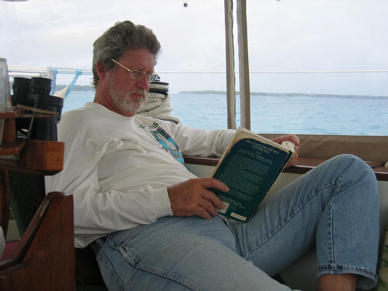
|
Don
Reads the Bounty Trilogy
 |
The next morning dawned
gray, but we pushed on southward another seventeen miles
to the small Nomuka Group. Although we feared our
weather window might be running out, we didn’t want to
miss seeing this spot, since it was the last anchorage
of the HMS Bounty before the famous mutiny. The
Bounty
anchored in the mile-wide roadstead between Nomuka and
Nomuka Iki and took on water from the fresh springs at
the base of a hill near the present day village. Today’s
cruising boats actually anchor in the more accessible
depths of Nomuka Iki, a small island shadowing Nomuka’s
south west face and wrapped around by some extensive
reefs.
Unfortunately, we arrived on Saturday evening, and
Sunday is never a good day to visit island villages
uninvited. The sky stayed gray, and a huge so’westerly
swell rolled past making great ice-blue rollers break on
the islands’ rocky tips and reefs. Even Nomuka Iki’s
inviting beach looked dicey for landing the dinghy, so
mostly we stayed aboard and enjoyed
Ice Blue
Swell Breaks on the Cay North of Nomuka Iki
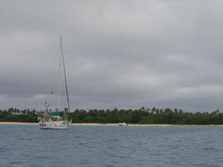
 |
Anchored
off Nomuka Iki
 |
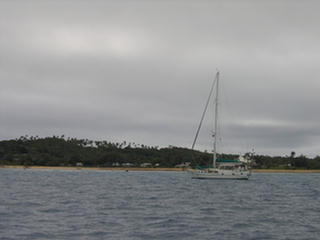
T2 Motors Past Village on Nomuku on Sunday
 |
Another Weather Change on the Way!
 |
the
view. Then Monday’s weather forecast predicted strong
easterly trades to fill back on Tuesday which would make
it very difficult sail back to Pangai, so we were forced
to hightail it out of there without ever getting ashore!
Oh, well, we came, we saw and we photographed.
Our sail in the southerly winds from Nomouka back
northeast to Uonukuhihifo was one of the best sails
we’ve had in a long time. Our course required some
jigging and jogging to clear the various reefs systems
lying across our route, but we sailed beautifully along,
the winds for once working in our favor.
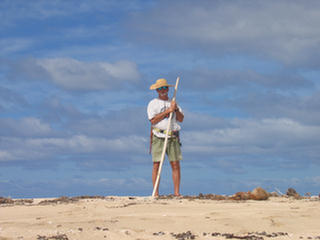
A Fast Sail
 |
Hiking Around
Uonukuhihifo
 |
 |
 |
 |
 |
 |
Sure enough the winds settled back into the east
the next day, but we had no regrets about being
back in this beautiful anchorage, where our time
had been cut short a mere ten days before. We
hiked around Hihifo finding on the windward
beach not the lobster carapaces the guidebook
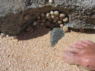
predicted, but hordes of snails snugged up tight
behind exposed rocks. We also did not find the
conveniently low coconuts we’d found on Tafanga,
but Don still managed to whack up a couple of
fallen nuts to munch on.
With our stores getting low it was time to start
working our way back. We sailed north up to
Uolveva again, where this time we found three
boats – including Ventana and Finte – sheltering
from the strong easterlies. Patty and her family
were gone from their campsite, so this time we
walked north and checked out the backpacker
camps. If remote is your thing, (remote and
rustic!), and apparently it is for lots of
people, the Captain Cook backpacker Resort, is
for you. There is absolutely nothing to do here
|
|
but walk the beach, swim and snorkel, and sit
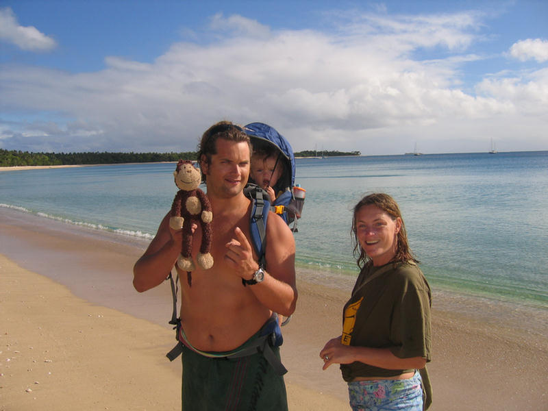
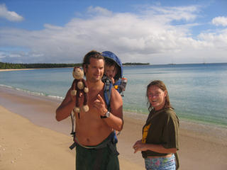
around the nightly bonfire. We met a young Dutch
couple our own kids’ age, in the midst of a
round
the world trip, with their baby girl (exactly
Kai’s age) in a baby-seat back pack! Also
retirees from New Zealand who brought their own
aluminum skiff to fish from. And an Englishman
sprawled alone under a palm tree with an open
book. It’s a rough life, eh? |
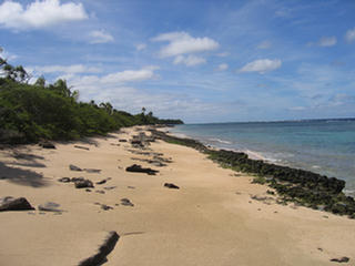
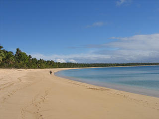
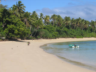
Uoleva's Beach
 |
Dutch Travelers
 |
From Uoleva we motored
north to take in another historical anchorage, Muikuku
Point. This sandy point projects west from Lifuka Island
a mile or so north of Pangai. A large reef continues
seaward from the beach making for that first tricky
navigation we’d encountered upon our arrival here three
weeks before. Captain Cook anchored here on his three
visits to the Ha’apai, and this was also the anchorage
at which the privateer Port au Prince was attacked and
burned in 1806, leading to the wonderful account of
Tongan life by William Mariner, a fourteen-year-old
clerk who was spared. I just wanted to be able to say I
had been there. On our way into Pangai during the gray
squally weather it had looked uninviting, but today it
seemed almost as idyllic as Uoleva. We anchored Tackless
II well in in 20’ of water and took the dinghy to a
clear landing on the golden beach that stretched from
the back of some houses in a grand curve out to the
point itself. With the sun out, it was a beautiful walk.
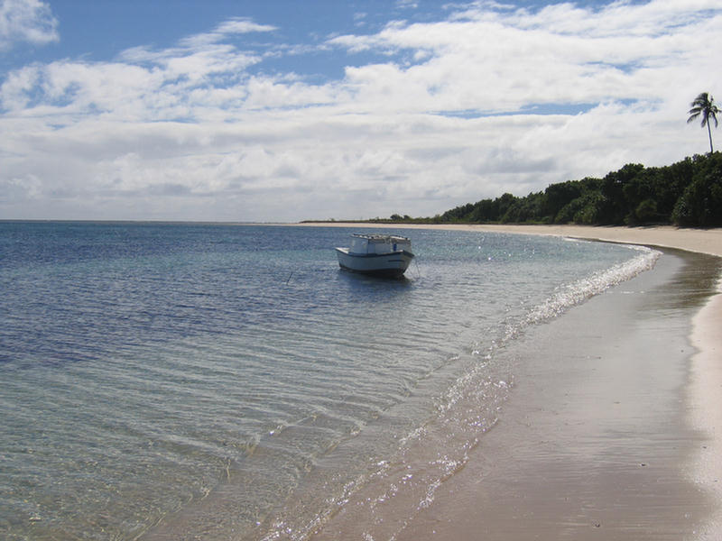
A few local fishing boats were moored picturesquely, and
the even the simple houses looked pretty in their
gardens.
Dinghy moored on the beach at Muikuku
(Note kids’ interest)
 |
Local fishing boat with Muikuku in background
 |
Don on Muikuku Point at low tide
 |
Out on the point we discovered that Pangai’s
airport begins just a few feet inshore when the
gooney bird (DC3) of Peau Vava’u Airlines roared
to earth over our heads!
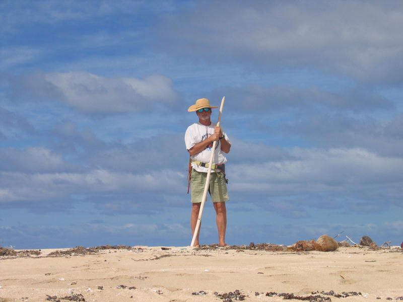
I did my best to shoot
panoramas of Tackless II anchored in this famous
bit of water, the point allowing me a great
vantage from which I could shoot the boat with
the curving beach almost behind it. |
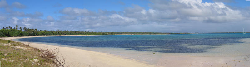
Panorama of Bay from Muikuku Point
 |
Legacy of the Port Au Prince! Mischief or
message?
|
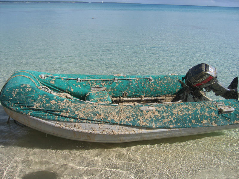
At which point we noticed the kids playing in
the dinghy. This is an occupational hazard of
leaving a blow-up boat, so different than the
wooden boats familiar to them, within reach of
shore. They are fun to bounce on and make great
diving platforms for agile swimmers. However we
had left the dinghy beached so couldn’t quite
make out what was up. As we got closer, it
looked like they were throwing sand! Don gave a
shout and the kids – little kids, maybe three to
five years old – scattered. When we reached the
boat we found it plastered – PLASTERED – with
sand. They couldn’t have done the job more
effectively with a spray gun. Our initial
resignation passed as we realized how bad it
was.
There was sand on every inch of the engine, the
gas tank, the pontoons and the floor…this dinghy
we keep so tidy! The thought of the sand getting
imbedded between the hard floor and the hypalon
made us queasy. We stripped the cover from the
pontoons and dunked it in the sea and pulled the
anchor bag, tank and oars out to likewise rinse.
The |
|
kids watched from the bank about a hundred yards
away as we cleaned up their mischief. As we
thought about it a bit, we realized how naughty
a thing it was. It was surely something they
would never think to do to their father or
uncle’s fishing boat. |
So Don decided to seek
out an adult. The children ran as he approached, and he
simply followed them. He found two women sitting on the
stoop, who fortunately spoke English, and calmly
described what the kids had done and how it wasn’t a
good thing. As he spoke, the little imp, clearly the
leader, lost all his bravado and was quaking and
wailing. They shook their heads and promised to tell the
parents, because, of course, they weren’t their kids.
All in all it was an unfortunate event…and made us feel
like we’d experienced our own mini-betrayal of trust, of
the same nature if not scale as the Port au Prince. Back
at the boat, we hoisted the dinghy out of the water,
pulled the plug and flushed it and all its trappings
with water. Within an hour, our deserted beach was busy
with adults and children walking to the point, but no
one came out to apologize.
Having lost a little enthusiasm for the place, we gave
up on our plan to find the cemetery where the Port Au
Prince sailors, as well as other palangi like the
recently deceased Virginia Watkins, are buried, and
moved back down to Pangai. Ashore, we made the circuit
of town preparatory to checkout, stopping to chat with
Sam at Customs, to buy a few bananas (Pangai’s main
market day is Saturday and there isn’t much available in
between) and for the obligatory burger at Mariner’s
Café. This time we were joined at the table by the
German couple from Finte, the shipshape ketch we had
seen twice before during our stay. Hans and Eva had come
to the Pacific by a very different route than we, the
real way, some would say, across the Atlantic, down the
coast of South America, around the Horn and up to the
tropics by way of Pitcairn Island. Since I’d had the
Bounty on my mind during all of our stay in Ha’apai
(plus Don had used the occasion to read the Bounty
Trilogy for the first time), I asked about Pitcairn.
Pitcairn, as you may know, was settled by the mutineers
of the Bounty. After they seized the ship and set
Captain Bligh and 18 loyal seaman adrift in an open
boat, Fletcher Christian and his sailors returned to
Tahiti, left off the unwilling crew, and the nine
remaining mutineers took aboard twelve Tahitian women
and six Tahitian men and went to sea looking for a place
to hide from England’s retribution. Eventually they
discovered Pitcairn, many miles from its charted
position, and set up their little “colony” there, moving
everything they could off the ship and burning hulk.
Pitcairn is a rugged island with no anchorage, and I
have always marveled at cruisers who choose to sail so
far to find it only to be unable to count on going
ashore. Hans and Eva were lucky to be able to. The
Pitcairn islanders sent out a boat to collect them, and
their landing was indeed hairy, through big surf into a
slot-like slipway from which the boat is yanked out of
the water! Apparently, when cruise ships visit Pitcairn,
the passengers do not come ashore at all. Instead the
islanders come out to the ship to do their show and sell
handicrafts! Hans and Eva were, however, not much
impressed with the place.
After Hans and Eva finished their coffee, Trevor, the
café’s proprietor sat down to talk with us. We told him
of our interest in things historical, and that our chief
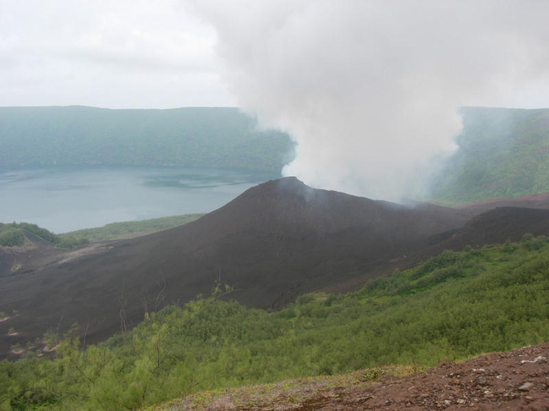
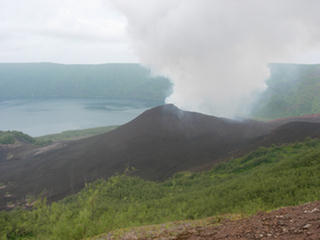
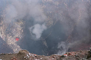
regret was not being able to sail by Tofua, the volcanic
island in whose shadow the actual mutiny took place.
Tofua, the flat-topped volcano whose current crater kept
up a stream of emissions into our western horizon for
the duration of our stay, was the first place Bligh and
his men tried to get ashore for food and water. It is
another hard place to stop. There is not much of a
protected place to anchor, and, at 26-miles to the west,
it’s a long way to beat back for a fly-by visit.
It turned out that Trevor was the perfect person to
whine to about this. In addition to the Mariner’s Café,
Trevor has a business that takes people camping on Tofua
(www.tongacamping.com
)! The trip is made in a local boat, which then hangs
around fishing for three or four days, while the
tourists set up camp on shore and climb to the crater.
Trevor had files and files of beautiful digital
photographs of Tofua which he most kindly copied for me.
After viewing them all, it made us feel like we’d made
the climb ourselves. Trevor told us that many cruising
boats do actually make the trip on their own, but of
course unless you have an extra person you can leave
aboard, the boat is pretty vulnerable to weather shifts
while you climb. Imagine being an hour and a half up and
seeing bad things happen from on high!
Tofua Volcano
(photographs courtesy of Trevor
Gregory, Mariner Café, tongacamping.com) |
 |
 |
|
Back aboard T2, the weather forecast called for
the east winds to continue and strengthen.
Although the direction was ideal for the trip to
Vava;u, the force was a little more than we
like. Plus since the return trip should be
faster, I wanted to get up early and make the
trip during the day, while Don still preferred
the less-pressured night passage option. In a
compromise move, we moved north to Ha’ano, the
anchorage the guidebook touts for departures and
arrivals, thinking to get a partial night’s
sleep and then follow our track out into clear
water for an early start.
Well, that was the plan. Shortly after sunset,
the wind that was supposed to be well east,
veered back into the southeast, just far enough
that it wrapped around into the anchorage and
set us a bobbing. As the tide came up it got
worse and worse, with seas building to several
feet, and Tackless II was pitching and rolling
violently. Then, just to add interest, we
started getting squalls with winds up to 25
knots. It was not a nice night. Don let out
extra chain, and we used the chartplotter’s
anchor watch for the first time. Neither of us
slept. |
 |
Come daylight, it was
clearly a bad idea to set sail. Instead we tucked our
tail between our legs and struggled back south through
squall after squall to Pangai’s protected harbor. So
much for weather reports! We slept through the day, and
when we woke, the wind was still up and squalls still
rolled through. The next morning, I woke early, but Don
could not be persuaded to try the daytime run,
especially with the extra eight miles between Pangai and
Haano tacked on. We waited through the day, diverting
ourselves with computers and books, and finally raised
the anchor to get around Muikuku Point in daylight.
The sky was definitely more benign than it had been for
the previous days, but the wind was still smoking. We’d
expected this from our GRIB files, but the forecast was
for even more, so we were determined not to turn back
again. Instead we took the third reef in the main, set
the staysail, and pulled out maybe 2’ of genoa. As we
left Ha’ano behind and got the wind full bore, T2 was
making 7+ knots in a fairly steady 30 knots of wind. The
seas were plenty big, but after the sun went down fast
we only saw the crests breaking in moonlight! Out of
sight, out of mind? Well not exactly.
It was a very fast trip. By 3AM we were hove to in the
lee of Hunga Island. Any fantasy we had of going on in
into familiar territory was doused with the setting of
our quarter moon. Dark is really dark at sea, even with
radar! We took turns sleeping until we estimated that we
and sunrise would meet, and then motor sailed the rest
of the way into town.
Returning to Vava’u felt very much like coming home. But
after nearly a month in the Ha’apai where we’d seen
maybe a half dozen boats total (including from afar),
tiny Neiafu with probably a hundred moored boats,
felt…and sounded …like a metropolis! As for the second
time in a week, we climbed into our bunk with portholes
shaded to catch our sleep during the day, we wondered if
sleep would be possible all the racket of engines,
voices, dogs, boat, cars, trucks, pigs……zzzzzzzz.
|