|
2C Update #143
-
The Ha’apai – Part One (July 9-Aug 1,
2006)
|
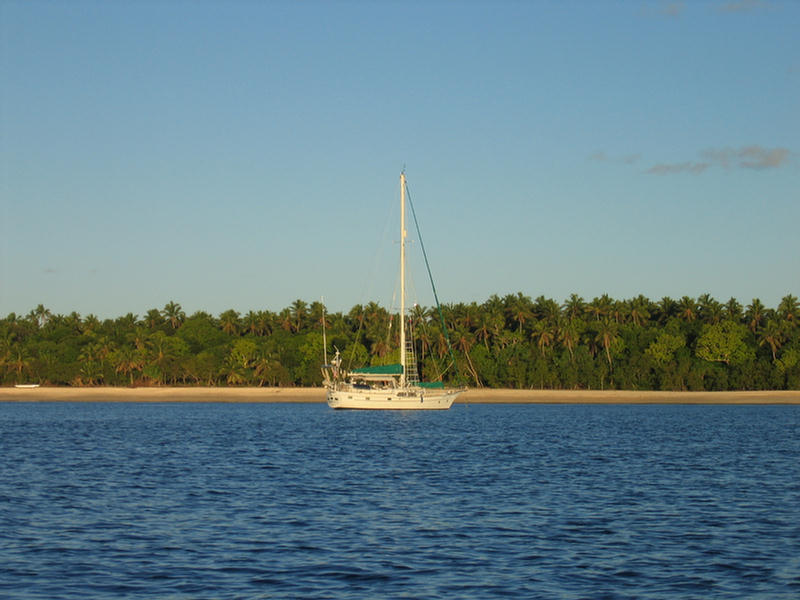
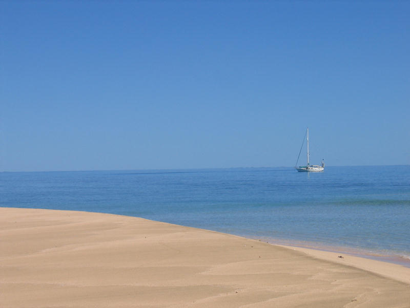
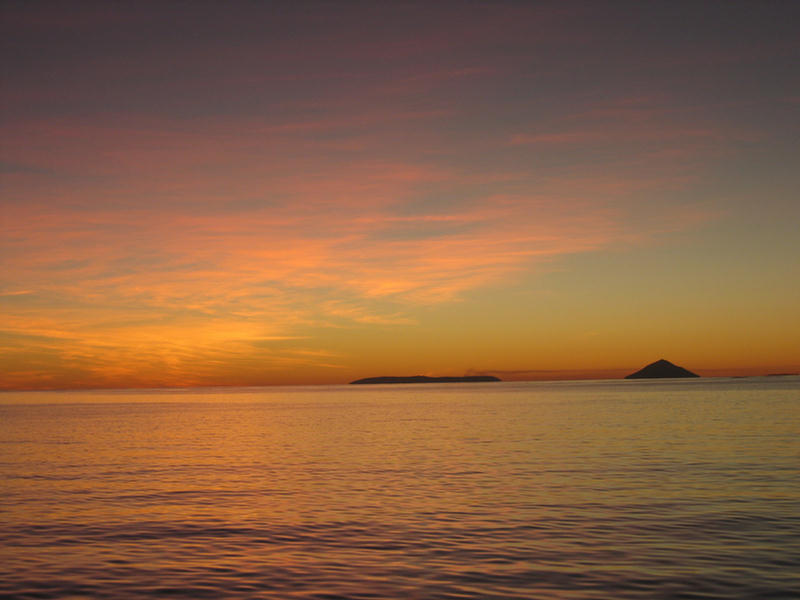
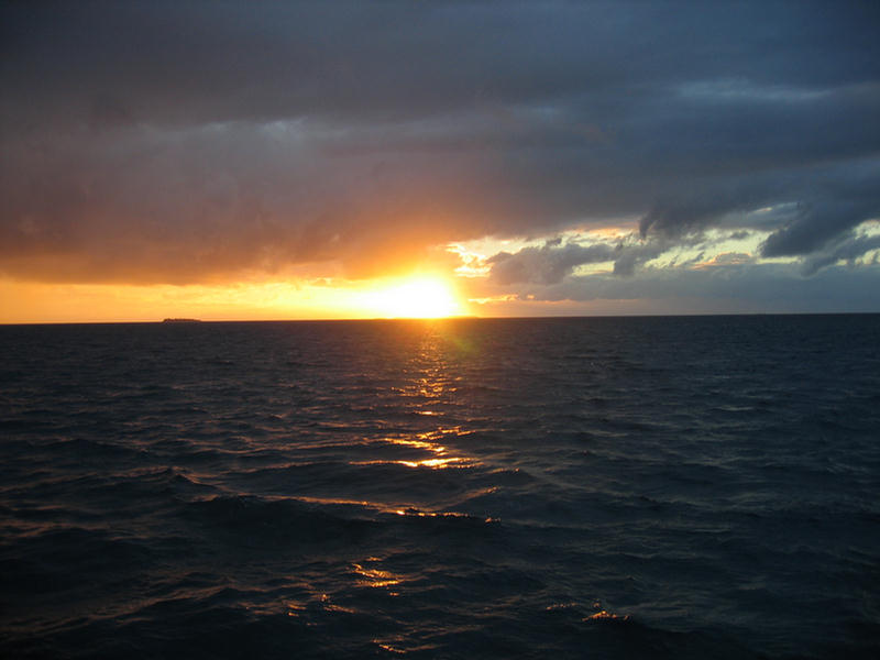
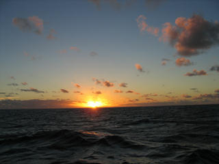
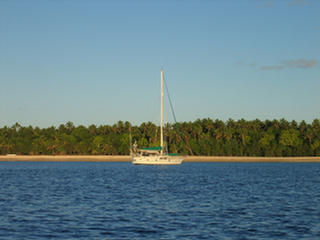
Passage
Sunset
 |
We didn’t really start our 2006 cruising season until we
set sail for Tonga’s Ha’apai Island Group. The Ha’apai
(Ha-a-pie) start about 60-some miles south of Vava’u and
stretch in strands another sixty miles southward. Beyond
the southernmost anchorage in the group – Kelefesia –
it’s a 35-mile hop down to Nuku’alofa. Most cruising
boats therefore visit the Ha’apai group during their
southbound and northbound migrations to and from New
Zealand at the end of one season or the beginning of the
next.
We’d had a preview of the Ha’apai on our flights between
Vava’u and Nuku’alofa. From the air it is very easy to
see all the reef systems that give the group its
reputation for complicated sailing. To the east is a
long barrier reef that runs almost the whole length of
the group, and on this strand are dotted a string of
islands, including Lifuka, the main island of the group
where are the airport and the town of Pangai, the
Ha’apai’s administrative and commercial center. The rest
of the Ha’apai’s 60 islands and reefs are scattered in
cross strands to the west. And outside this coral maze
some 20 miles even farther west two volcanic islands
dominate the horizon, part of an arc of volcanic
activity above and below the sea surface that parallels
all of Tonga. The northernmost of the pair – Kao – has
the more picturesque conical shape, but it is its
flat-topped southern partner – Tofua – that produces
columns of cloud to decorate the sunset.
Before departing from Vava’u, we’ were fortunate to be
able to pick the brains of Sandy and Terry, veterans of
fourteen years running the dive/sail charter boat
Impetuous, a Beneteau 50, between Tongatapu and
Vava’u (www.sailingtonga.com)
. The Sailingbird Guide to Tonga, considered by all
locals the best guidebook available, does a very good
job documenting the Ha’apai’s anchorages, reefs, hazards
and dive sites, but Sandy was able to annotate these. He
added a few anchorages and gave us some qualitative
assessments of the many varied UW attractions as well as
a heads up on which navigation aids might not be
working! In addition, I colored in our black and white
chart copies with highlighters, a process that brought
alive this complex group with hard to pronounce names.
No number system in the Ha’apai!
In fact, more than any place we have been, paper charts
were fundamental to our comfortably cruising in the
Ha’apai. Our electronics charts, so useful everywhere
else, could not give us enough detail at a scale that
allowed us to see where we wanted to go. It was not that
they were inaccurate. In fact, once I set the offset
against one of the huge concrete-pylon nav aids in
Pangai, the C-Map charts were close enough to be useful
(if not utterly reliable!), and we were extremely
grateful for the precious tracks in and out of places
that the chartplotter plotted. It’s just the Ha’apai is
so strung out, we’d lose important data at a scale broad
enough for planning. (Note: we learned an important
lesson about our chartplotter’s capacity to store tracks
when we closed our loop back to Pangai only to discover
that all the tracks we looked forward to re-using had
been wiped out. Hence, seven years into using this
chartplotter we learned about its important “Save Track
as Route” function. The same applies to computer-based
electronic charting.)
Our passage down – once we got going – went smoothly. We
departed from Vava’u’s Port Maurelle anchorage at about
four in the afternoon, with a course set west around
Hunga before turning south. Although the distance
between the island groups is one that many boats could
manage in a daysail, we were not keen on possibly
arriving in the unfamiliar anchorages of the Ha’apai
after dark. (This proved to be wise after we saw
firsthand the anchorages we might have counted on.) We
had a good sail south, close-hauled in an east wind of
about 15 knots, with a full-moon. Arriving early about
four miles out, we hove-to to await good light, enjoying
the spectacular dawn produced by heaping masses of
clouds to the East.
Our first quasi stop was the anchorage at Ha’ano Island.
Billed as a good rest stop, we picked our way in toward
the mushroom-rock landmark. There were reefs to the
right, reefs to the left, and reefs in the middle, plus
deep water until there wasn’t, and, coupled with the
chop from the southeasterly wind, there was little
inviting about the place for our size boat. We turned
and departed. I’d be lying if this first disappointing
anchorage didn’t make us anxious about what else we’d
find in the Ha’apai.
Fortunately, things got better. We decided that given
the massing clouds, we might as well head straight for
Pangai. The sail south across the bow-string course
between Ha’ano and Muikuku Point was delightful, with
brisk winds but small seas thanks to the protection by
the almost connected islands of Foa and Lifuka. Entrance
to Pangai’s anchorage area was far more straightforward
than my charts -- with all the reefs highlighted in
yellow and notations about missing markers -- would have
suggested. We dropped the hook outside the harbor basin
and got the boat put away just as a squall rolled
through with cold heavy rain. We took the hint, and
opted for lunch and a nap and didn’t clear in until the
next day.
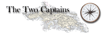
Pangai is a simple town a couple of blocks deep, but
well strung out north and south. The interior harbor,
defined by a substantial man-made breakwater, is big
enough that several cruising boats can actually come
inside and anchor. A larger group could med-moor. This
becomes an attractive option should one get caught in
Pangai with winds going to the West, the one direction
there is little protection in this whole part of the
Ha’apai. The wharf has two landing stages built to
accommodate the changing tide. One (the better one, of
course, for the wind conditions) was occupied by a
family fishing, so we tied up on the other, setting a
stern anchor to keep the dinghy out from under the
massive beams.
|
Customs
Office
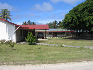 |
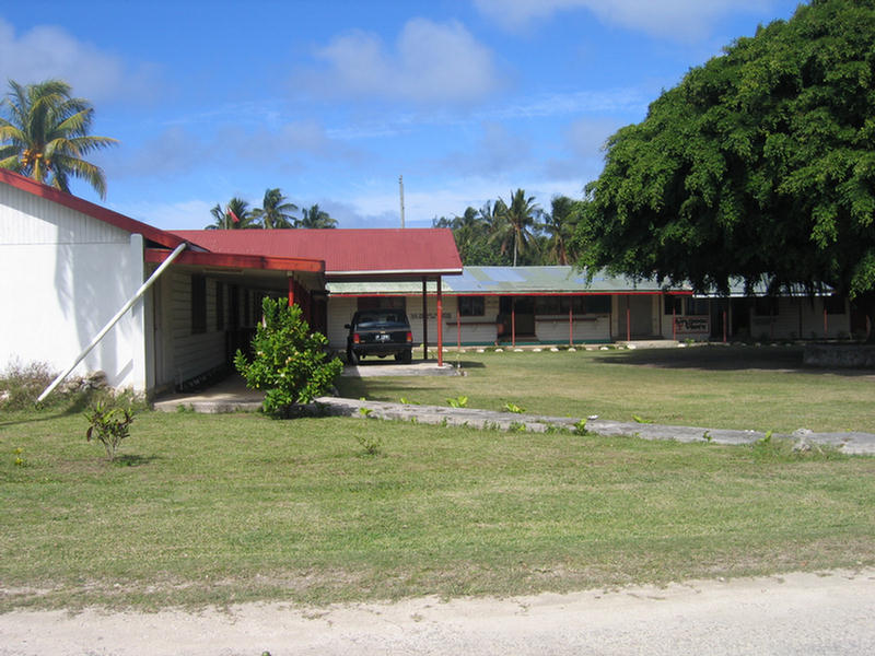
We found our way a few
blocks south to the customs office, a pleasant building
under the shade of a huge spreading tree. In a back
office we sat and chatted a bit with Sam, by far the
friendliest official we have met in Tonga. Even though
the Ha’apai is part of Tonga, cruisers are required to
check in and out. This requirement is eased to a single
stop for boats passing through one way or the other, but
because we planned to go back to Vava’u, Sam wanted us
to return before we left and held on to our papers. This
was slightly inconvenient as, given the shape of the
cruising ground, I had thought we might want to be free
to sail back north from the western islands, maybe
passing by Tofua, the Ha’apai currently active volcano,
and perhaps had we felt strongly enough to make the
point, Sam might have accommodated us. Indeed, I am
fairly sure that some of the few boats we saw in the
Ha’apai never checked in at all. How they get away with
that at the next port, I have no clue! We prefer to play
by the rules.
After our stop, we wandered
around the simple but pleasant town. We thought to go
find the hospital, which was the one building reported
to have suffered major damage in the 7.9 earthquake that
actually put Tonga in the headlines for a half day last
May. We never found it, but we did find a building
identified as the Afa Eli Historical Museum. We poked
our noses in to find things in the museum were rather
topsy turvy. Our first thought was earthquake damage,
but we shortly learned that the woman who put together
this little collection – Virginal Watkins – had just
died! The funeral, a big affair, was only just over!
Virginia’s daughter Rose, an American from England, was
coping with consolidating huge piles of stuff into one
room that she hoped they would be able to afford to keep
open. She invited us in to poke around, speaking of our
missing her mother as if the dignified woman had just
stepped out to another village for the day!
Mariner's
Inn
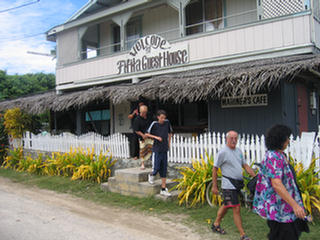 |
Trevor
Gregory
 |
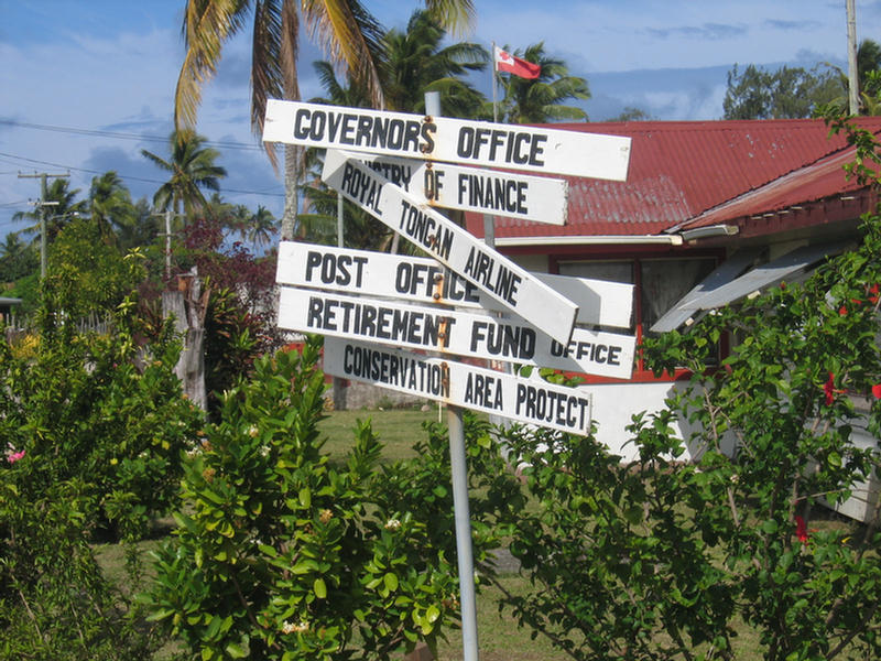
The other highlight of
Pangai is the Mariner’s Café, the only restaurant in
town. Operated by Trevor Gregory, a cruiser who got
snagged here eight years ago, the café is a major
meeting place. A group of visiting teachers was
conferring at a table in back, two med students
interning from Fiji were lunching at another, a young
Dutch couple on a two-year travel sabbatical waited for
a taxi to take them to the airport, and we sat down to a
couple of Mariner burgers, towering sandwiches with a
bit too much bread and way too many French fries! We
signed Trevor’s cruising log, and of course, flipped
through exclaiming over all the boats we knew who’d
passed through before us, while he told us a little
about his history and how he’d like to sell the café and
go cruising again.
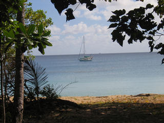
|
T2 off
Uoleva
 |
After lunch we weighed
anchor and moved about six miles south to the next
island Uoleva, putting our hook down in the southern of
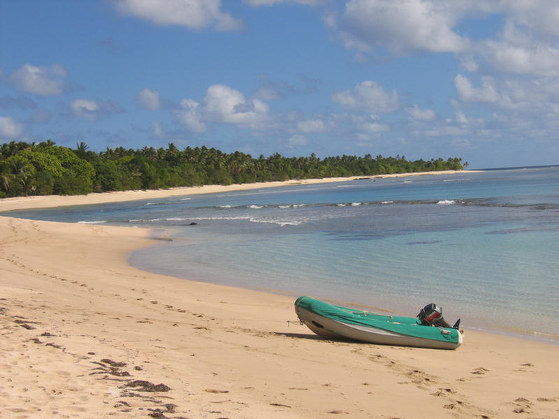
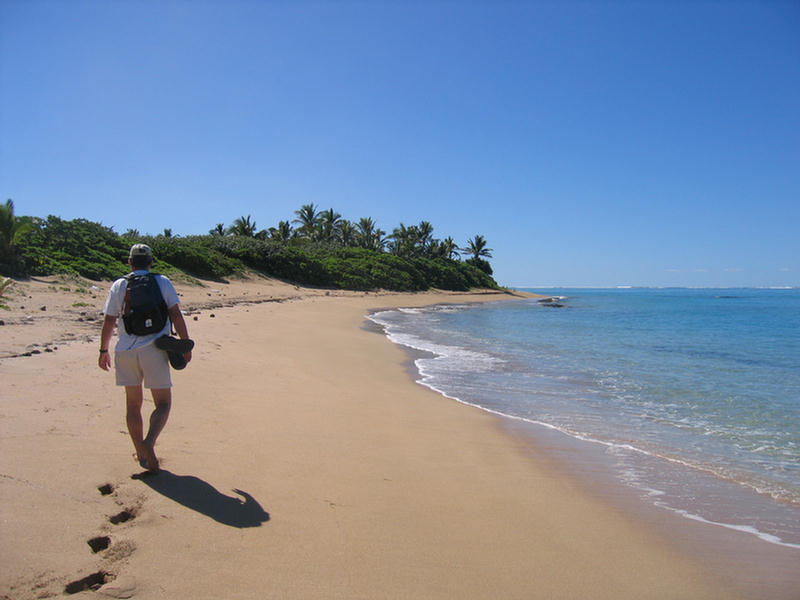
its two anchorages. This is surely one of the most
beautiful anchorages we have ever been in. It is a wide
bight protected to the south and north by reef systems
and headed by a long, perfectly-curving beach of golden
sand. Huge coral heads loom up from the bottom as you
enter the bay, but farther in we found plenty of clear
sand about 25’ deep. No other boats were in sight, and
the only signs of humans were the two backpacker
“resorts” (camps) at the north end, a runabout parked on
the edge of the woods, and a tent about one third of the
way from the south end.
In the morning we dinghied
ashore and, walking the beach, met the campers in the
tent. This proved to be an American woman named Patty,
her daughter and two grandchildren. Patty, who’d
discovered Tonga while crewing on a cruising boat, had
recently bought the eight acres on which she camped. Of
course in Tonga, buying is actually leasing, but still,
at
Uoleva
Beach
 |
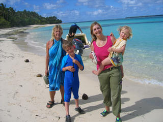
Landowner
Patty and Family
 |
USD$58,000, with 500 feet of waterfront on both sides of
the island, it seemed like a helluva deal, and she was
full of plans of the fale resort she would build here.
It sounded idyllic. Of course, if all the resorts
(rustic and upscale) we have heard about being in the
works actually get built, things will really change in
Tonga. This particular spot is almost practical as the
island is still very close to Pangai and its airport.
Still, there are absolutely no services in place,
construction materials would have to all be shipped in,
and the low flat land struck us as very vulnerable to
storm surges and tsunamis (earthquakes always on the
mind), so it’s a big fantasy. Of course Don and I are no
strangers to fantasy, and we allowed ourselves to borrow
Patty’s for the next several days. The thing is, as
entrancing as these land chances seem to be, to us it
always comes back to the very big negative of being
fixed in one place.
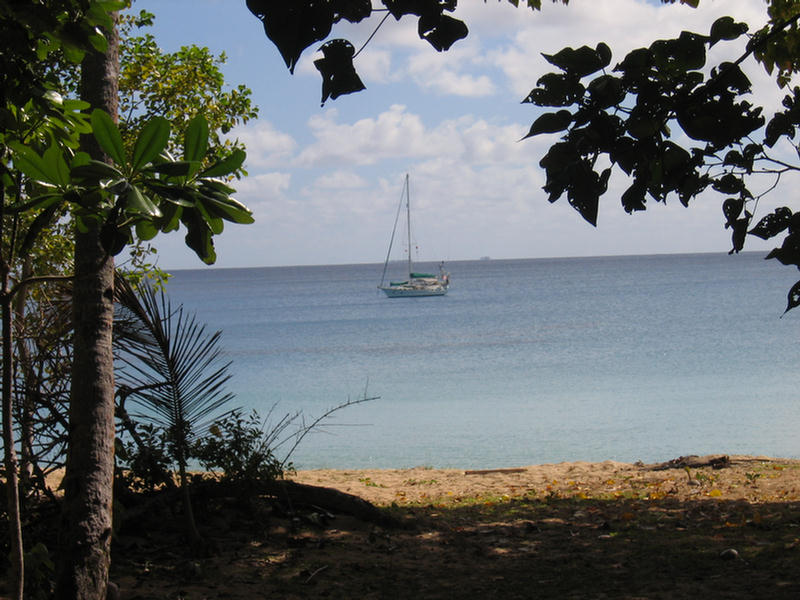
T2 Makes a
Pretty View
 |
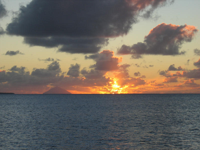
Uoleva
Sunset
 |
The next day we snorkeled
the big coral reef on the north side of the anchorage.
Don brought along his spear gun but, finding nothing to
aim at, was disappointed. My pleasure not being tied to
hunting, I enjoyed myself, although the water was pretty
darn cool. This set a tone for much of the rest of our
time in the Ha’apai, -- that is Don having little
interest in snorkeling if there weren’t fish to spear
--with the result that I went mostly by myself.
The following day we crossed the Ava Auhanga Mea pass
and entered the next island length of Ha’apai’s eastern
reef that starts with Tatafa Island. West of Tatafa is a
big boomerang-shaped sand and reef structure that Sandy
of Impetuous had pointed out as a very important shelter
to know about in the case of westerly winds. Given the
fine weather report, we sailed on by down to another set
of small islands: Tofanga, Uonukuhihifo and Uonukuhahake
(these names become more manageable if you know that uo
means lobster, hahake means east and hihifo means west,
i.e. east and west lobster island!!)
|
Don on Tofanga's Windward Shore |
 |
 |
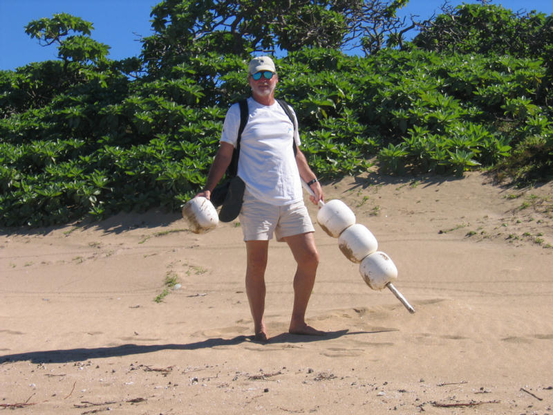
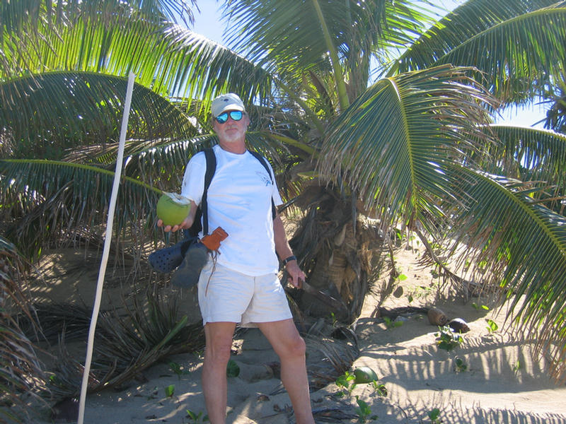
We anchored first at Tofanga,
and enjoyed a near perfect afternoon. Walking ashore we
quickly found a spot to cross over to the windward side.
Here was a scavenger’s heaven of mooring balls and
buckets. Don collected a pile to take back to Vava’u for
Larry of the Ark. Also, the coconut palms here were low
enough that Don could easily reach with his machete to
hack down a couple of green drinking nuts. There is
nothing to beat a cool coconut water on a hot sunny day!
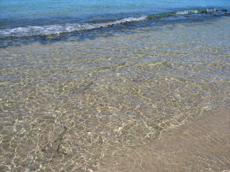
The beach was fringed on the windward side by very
shallow reefs and tiny sand sharks darted around in the
four inches of water. A wide apron of sand at the north
end was liberally sprinkled with shells, and as we
rounded it our first whale of the season spouted and
breeched a mile or two off.
It turned out to be a good
thing we made the most of the day, because the weather
changed the next, forcing us to backtrack in
strengthening nor ‘easterlies up to Tatafa and the
boomerang reef. As winds backed through the north into
the west at twenty knots, we hunkered down first in the
lee of Tatafa, and then, as the wind backed into the
west, we moved to the elbow of the boomerang reef. Don
was very skeptical that this submerged sand and reef cay
would be enough to knock down the building seas. We felt
like were sitting completely out in the open! But,
amazingly, the boat sat steady for the duration: a
little pitch, but no roll, becoming a little bouncy in
about one foot of chop at high tide. I snorkeled the
anchorage and found a near perfect bottom, heavy sand
with almost no coral, except on the protecting bank
itself. Unfortunately, because that was so shallow, most
of the coral was skeletal. We remained behind the
boomerang cay for two full days not minding a bit as we
always have plenty to occupy us on board.
|