|
HOME |
LOGBOOK |
| 2C Update #107 The Marquesas Islands, lying about 500-600 miles south of the equator at around 138-140 degrees West, are the usual first stop on the so-called "Coconut Milk Run," the name given to the trade-wind sailing route followed by most sailboats cruising to the South Pacific.
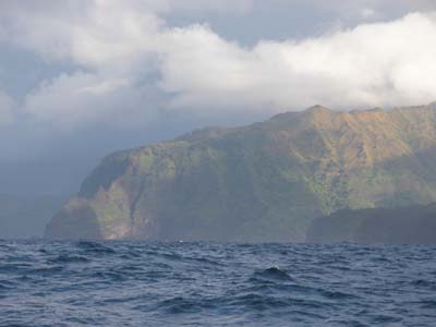
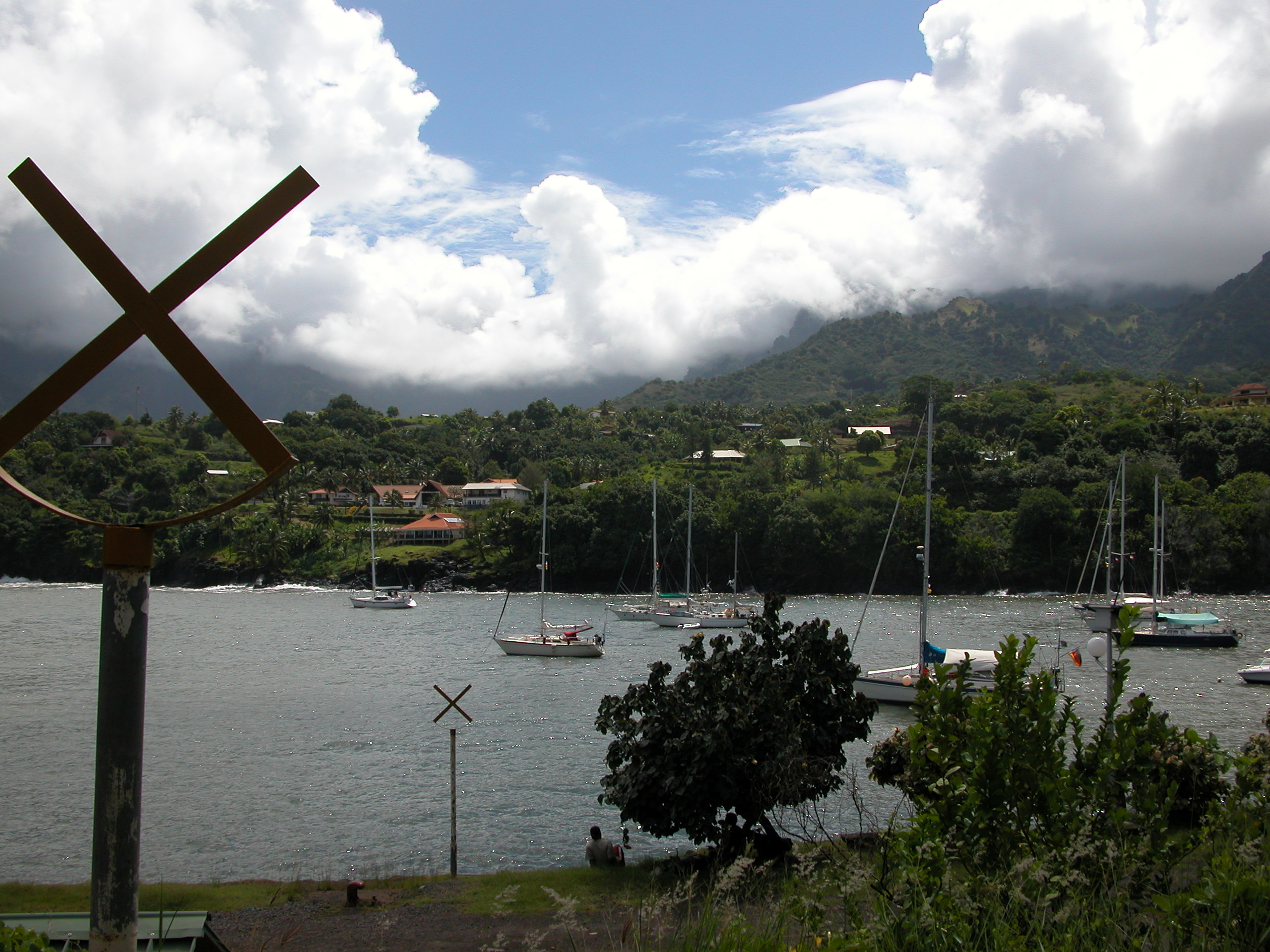
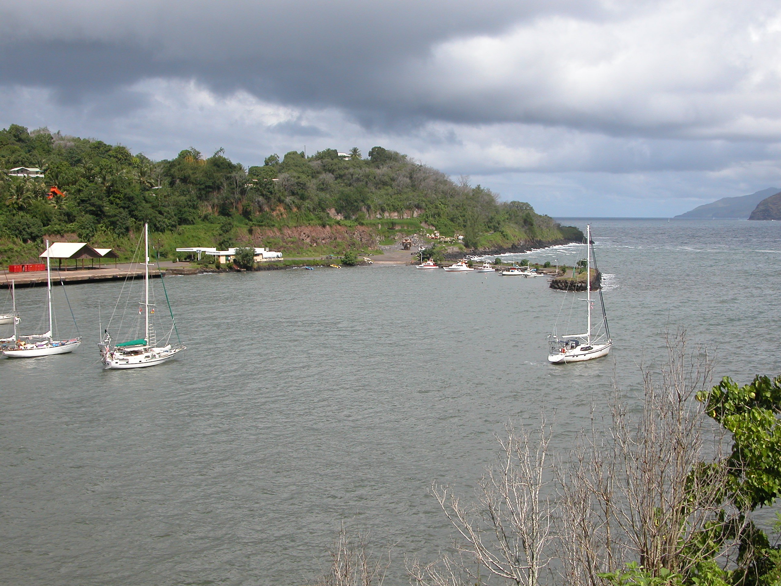
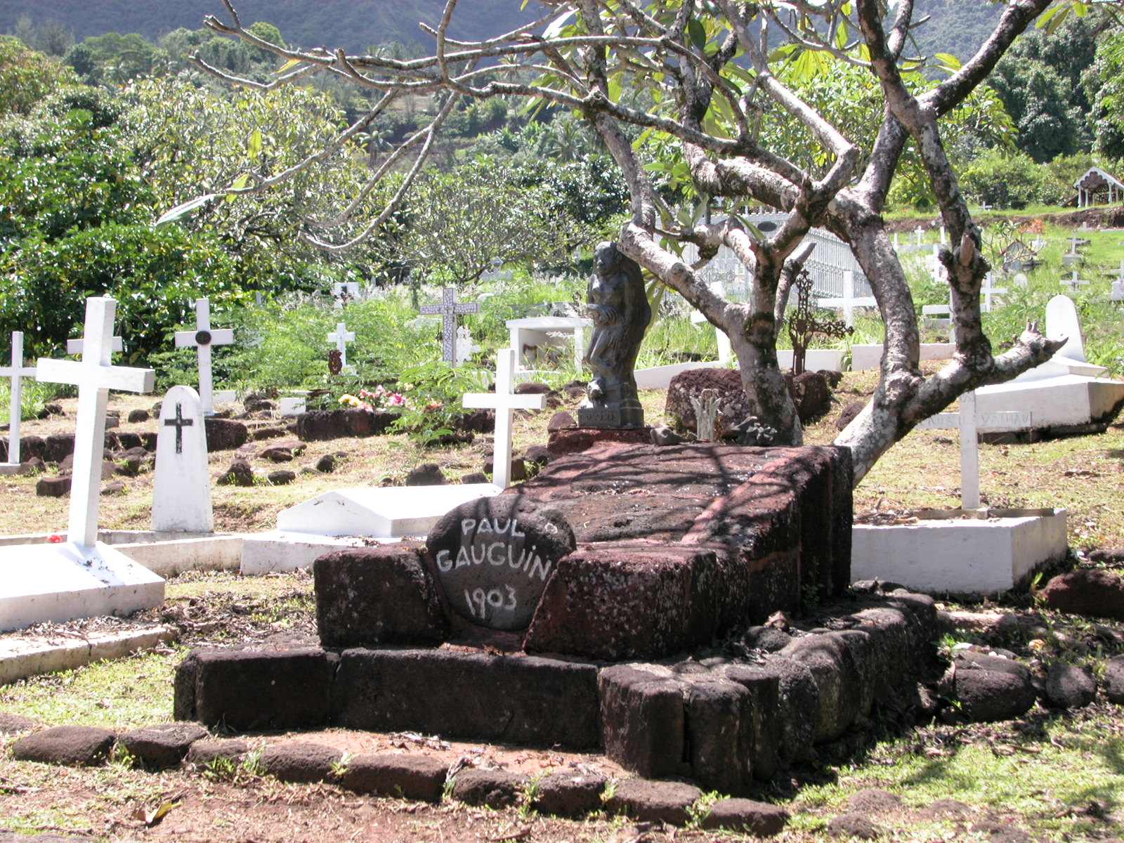
Today, the Marquesas are part of Polynesia , and Polynesia is an 'overseas territory' of France , which makes it different from St. Martin , Martinique and Guadeloupe in the Caribbean which are actual French departments, just like Paris . Geographically and administratively, the Marquesas are divided into two groups, north and south. For the sailor coming from the Americas it is a tough call where to make landfall. Nuku Hiva in the northern group and the most-populous island of the Marquesas, is the officially preferred arrival place with its fine, spacious anchorage, but from there the southern group is a hard beat 60 miles upwind. Often as not, once at Nuku Hiva, many cruisers just blow off sailing back. For those cruisers who want not to miss the southern group, the Port of Entry becomes Hiva Oa .The Two Captains fell into the latter group. On principle we don't like to miss anything, especially places that we are not likely ever to get back to. Also we'd been told that the Navy base in Hiva Oa had a machine shop which had been known to help cruising sailors with repairs. These islands are painted as very simple places with limited development and supplies. We really didn't now what we might find in any of the islands, so the Navy machine shop seemed like a stop we couldn't overlook. Finally, we had both read Thor Heyerdahl's 'Fatu Hiva', an account of his 18-month back-to-nature experiment on that island of the same name in the 1920s. Fatu Hiva then and now is one of the remoter places on earth and reputedly one of the most beautiful. It is the southernmost island of the southern group. However, if the concept of landfall after a long passage brings with it the idea of refuge and respite, the anchorage in Hiva Oa 's Baie Tahauku does not fit the bill. The only option in the whole 26-mile long southern coast, it is a long, narrow slot of a bay, tucked up to the northeast behind a stone breakwater. There is a quay with a fuel station (which announced even as the hook rattled down that they were out of fuel for the next two weeks!) and a turning basin in the protected water, and the local boats get to med-moor behind the breakwater. Visitors such as ourselves are left to anchor bow and stern behind the turning basin in the small area before the shallows. A steady 2' swell rolled in past the breakwater booming into the cliff face a few boat lengths away, as we pulled in and dropped bow and stern hooks ' cheek-by-jowl with about a dozen other cruisers -- at about 8:40am local time. (note: the Marquesas are 9 ½ time zones behind Greenwich , which really is confusing if you are trying to keep track of the UTC-time radio nets.) Above us craggy blocks of mountains pushed up into the clouds, and the lush green hillsides were dotted with bright and fragrant flowers.
Unfortunately it was hard to appreciate the beauty. Conditions were not great when we dropped the hook, and frankly they just got worse. The broken clouds closed in as a low pressure weather system south ushered in days of torrential rain. After Mexico , any shower is a small shock, but this stuff was more like the firehouse downpours we experienced in Panama .... only almost non-stop. The two-foot swell that rolled us around upon arrival went up and down to four and five feet during the next two days, which is a lot of swell at anchor. On top of that, the outflow from the river at our back gushed seaward, choked with mud, leaves, limbs and debris from the runoff. We were told that these rains had been absent for three years! Lucky us!
We did have a nice lunch at the Snack Kaupe in Atuona, and we were quite surprised at the well-stocked shelves in the town's four or five groceries. There were lots of interesting canned goods and a whole shelf of canned patés! Prices were not as outrageous as we'd been led to expect, except of course for such important items to the 2Cs as beer and broccoli! Indeed, vegetables of any kind were very rare and priced accordingly, while fruit is so abundant as to be completely ignored, a shopping handicap for those without contacts. There was a man who sold fruit fairly near the anchorage, but the rain had so swollen the stream we'd have to cross to get to him that somehow we never made the stop. On the other hand, baguettes are everywhere (before 11am) as well as delectable pastries like croissants, pan chocolate and, our favorite, the turnovers stuffed with a filling of red bananas. Meanwhile, back at the anchorage, boats were dragging or losing their stern anchors right and left. Remember, we were all packed in cheek-by-jowl. On our final morning while I was in town trying to get my French reciprocal ham license (so I could legally use our Winlink radio email), Don wisely stayed aboard, so he was present and alert when it was our turn for our stern anchor to chafe through. Fortunately, we had put a float on it, so the anchor was not lost like several others'. When I got back to the anchorage, we were facing the opposite way to the other boats (thanks, I think to the river's current), and the moment I was back aboard we upped anchor and got out of there! We motored about two hours away through rain and mist through the Canal de Bordelais to the backside of Île Tahuata, a good sized island perpendicular to Hiva Oa . We anchored in Baie Hanamoenoa along with about a dozen other cruisers, many of them also 'refugees' from Atuona. Someone said Hanamoenoa means " Bay of Sleep ". Well-named if true. Don insists that despite our two days in Atuona, we really weren't "off passage" until we got here. |
||
|
home
| waypoints | logbook | reference shelf
|